 DSLR & Mirrorless
  3D Camera
  Drone & Action camera
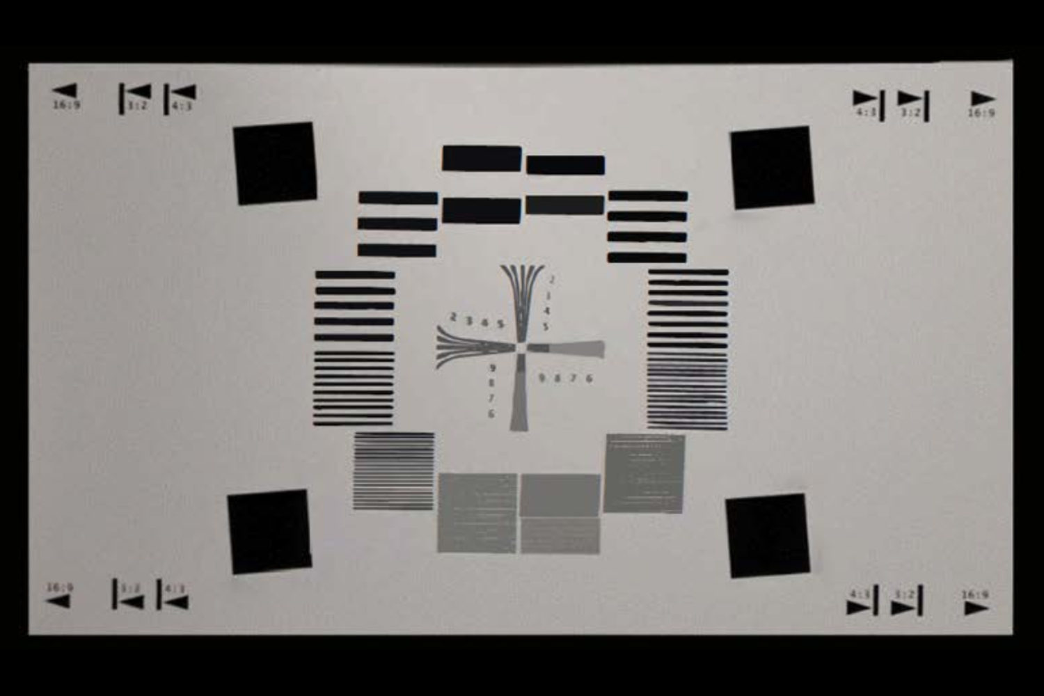
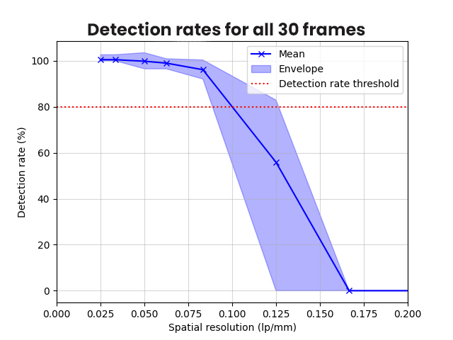
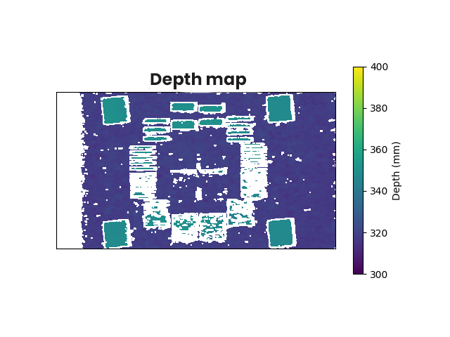
Examples of measurements
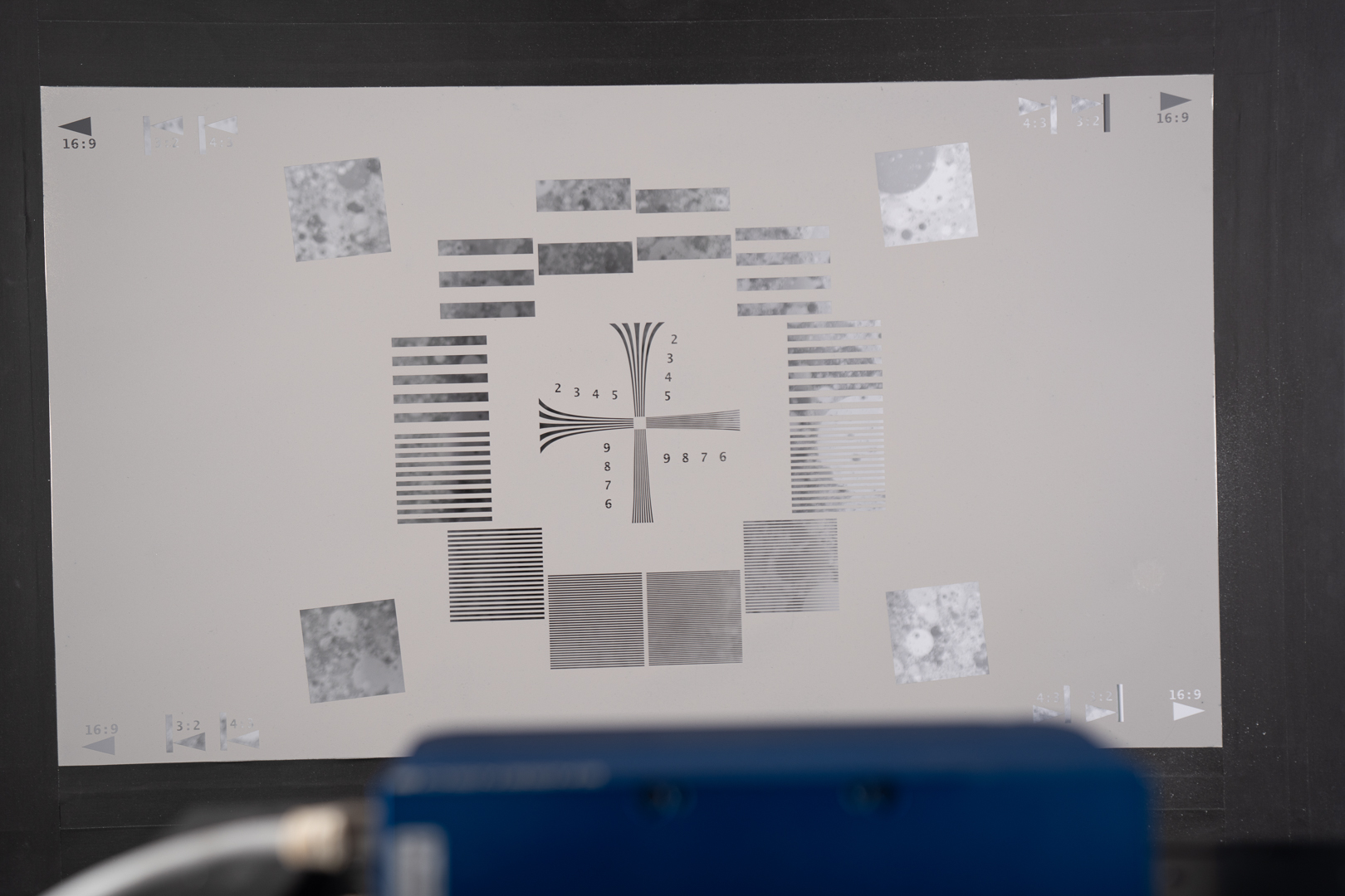
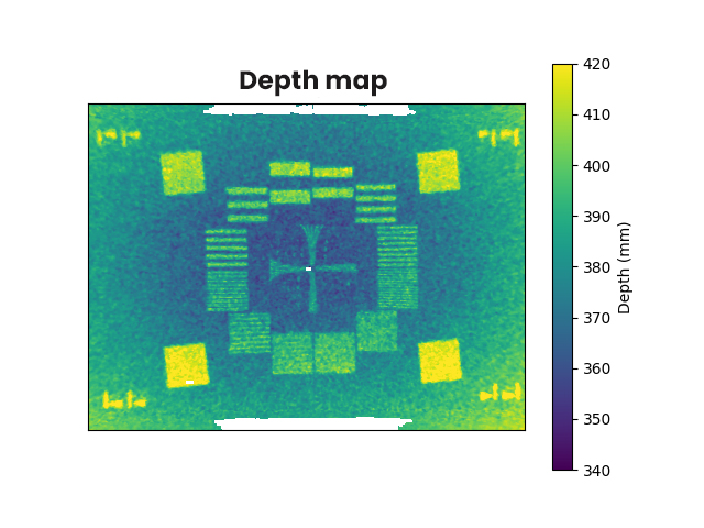
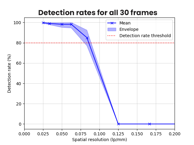
Spatial resolution depth map with Dead leaves background 3cm behind the chart
Time-of-Flight camera
Stereovision camera

We’re excited to announce the launch of AZ FREE, the latest evolution of our industry-trusted imag...
As part of the launch of its latest Camera protocol across three major cities in China, DXOMARK host...
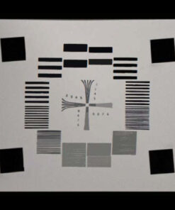
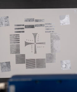
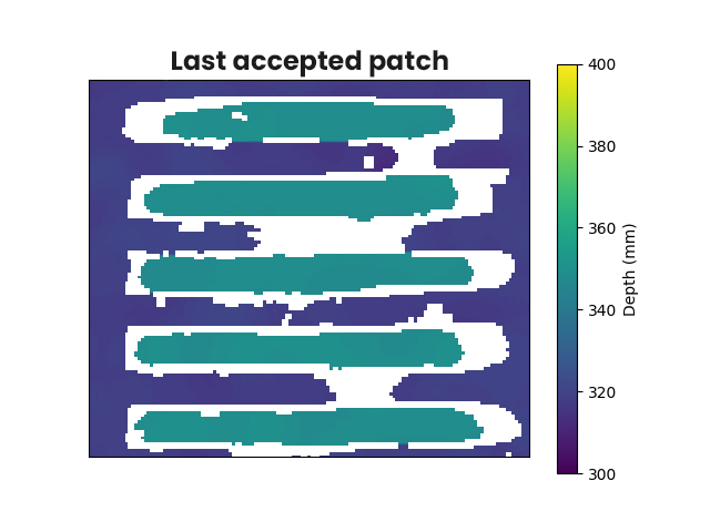
3D holes resolution testing chart
The Spatial Resolution Depth Chart is designed for testing the clarity of Depth map spatial resolution either with Stereovision, Time-of-Flight (TOF) or Structured Light cameras.
The Spatial Resolution Depth Chart is designed for testing the clarity of Depth map spatial resolution either with Stereovision, Time-of-Flight (TOF) or Structured Light cameras.
It uses hollowed-out horizontal line pairs on 12 blocks to conduct tests. Each block measures the same size and contains a line pair with a different spacing from 0.6 to 20mm.
In addition, there is a hollowed-out resolution pattern in the middle of the chart. The chart has a reflectivity of 18%. It is an ideal tool for evaluating the resolution and accuracy of Depth cameras.
General specifications:
| Expertise | Camera |
|---|---|
| Industry | 3D cameras, AR/VR, Industrial Vision |
| Product Type | Chart & Equipements |
| Image Quality Metric | Depth |